
 Access Points
 Access Points
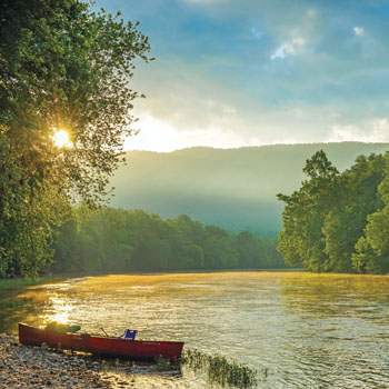
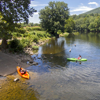
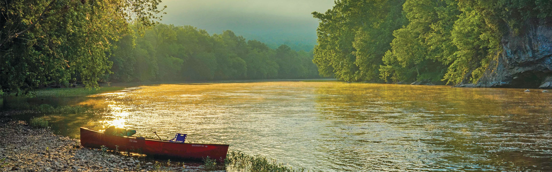
Where to get out on the water.
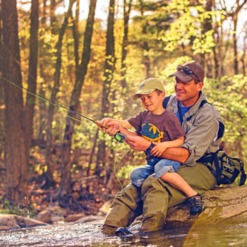
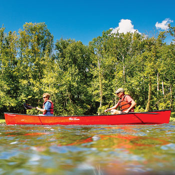
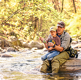
There are 12 public access points on the Upper James River Water Trail that are owned and operated by the Department of Game and Inland Fisheries. These sites are provided for the public with the expressed sole purposes of boating and fishing.
| Public Access Point |
Type of Launch |
Latitude | Longitude |
Map Link |
| Iron Gate | Shoreline Access | 37° 46′ 26″ N | -79° 46′ 58″ W | Map |
| Glen Wilton | Shoreline Access | 37° 45′ 2.9″ N | -79° 48′ 57.5″ W | Map |
| Gala | Shoreline Access | 37° 41′ 30″ N | -79° 48′ 45″ W | Map |
| Craig Creek | Shoreline Access | 37° 38′ 45″ N | -79° 48′ 52″ W | Map |
| Horseshoe Bend | Concrete Ramp | 37° 35′ 21″ N | -79° 43′ 40″ W | Map |
| Springwood | Concrete Ramp | 37° 32′ 52″ N | -79° 44′ 33″ W | Map |
| Buchanan | Concrete Ramp, Shallow Water | 37° 31′ 48″ N | -79° 40′ 46″ W | Map |
| Arcadia | Shoreline Access | 37° 33′ 17″ N | -79° 38′ 14″ W | Map |
| Alpine | Shoreline Access | 37° 34′ 54″ N | -79° 36′ 10″ W | Map |
| Glasgow | Canoe/Kayak Slide | 37° 37′ 25″ N | -79° 26′ 45″ W | Map |
| Snowden | Concrete Ramp | 37° 35′ 44″ N | -79° 23′ 23″ W | Map |
| Glen Maury Park | Shoreline Access | 37° 43′ 35″ N | -79° 21′ 57″ W | Map |
Maps and driving directions may not work for all locations. Map information provided through Google is intended for planning purposes only. You may find that construction projects, traffic conditions, or other events may differ from the map results.
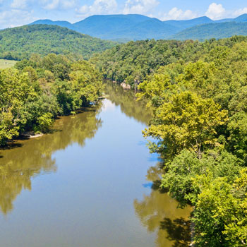
More paddling opportunities in the scenic mountains of Virginia can be found in the Alleghany Highlands, including on the Jackson and Cowpasture rivers which meet to form the mighty James River. Visit AlleghanyHighlandsBlueway.com for more details.