
 Frequently Asked Questions
 Frequently Asked Questions
How do you pronounce Botetourt?
Botetourt County (pronounced Bot-i-tot) was named after popular royal governor Norborne Berkeley, Baron de Botetourt.
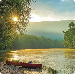
How long do the trips last?
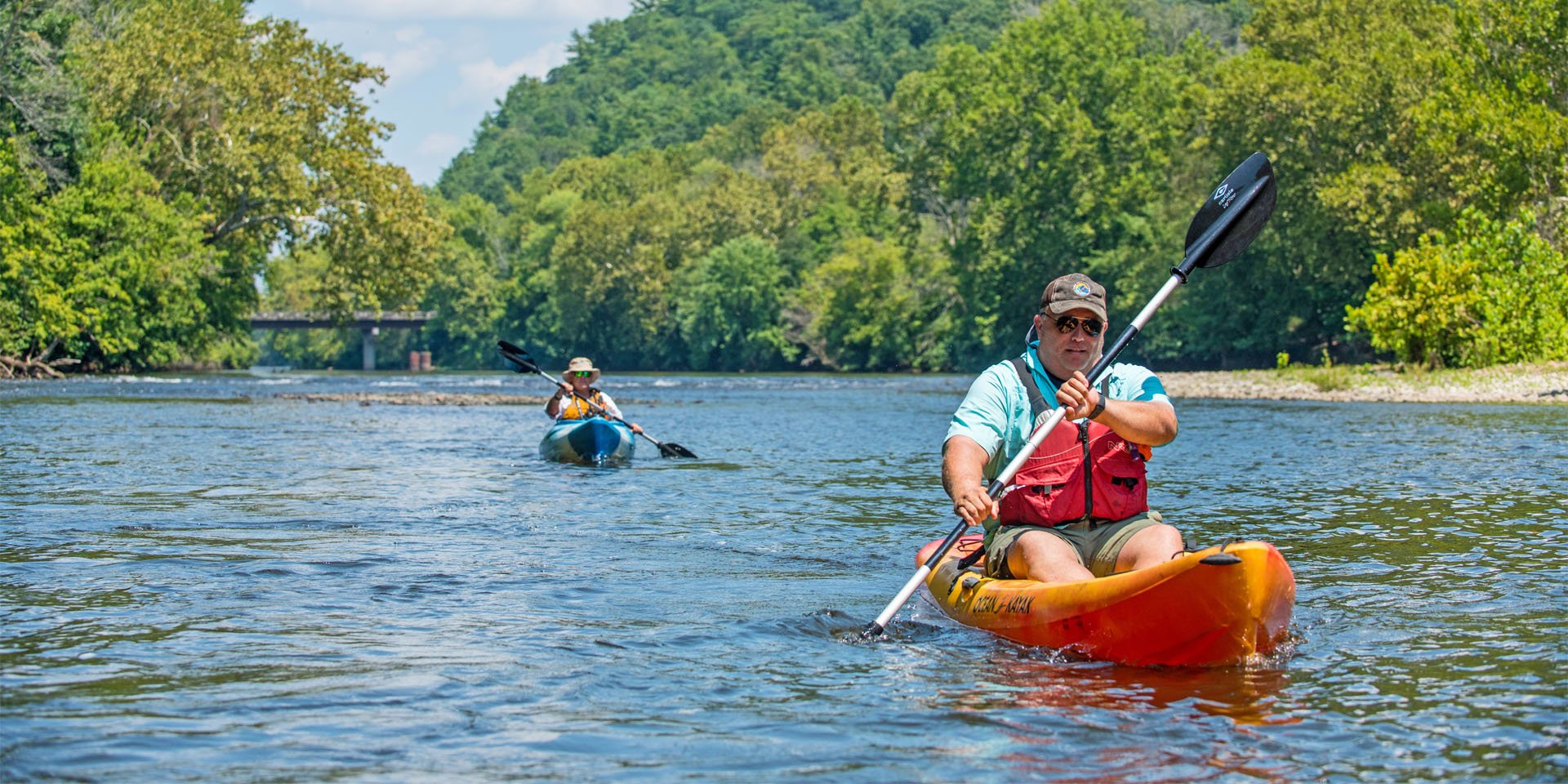
It mainly depends on the water level. Trips are normally much faster in the springtime when the water is higher. The average summer time paddler travels between 2 – 3 miles per hour. The Upper James River Water Trail is perfect for a large variety of day trips of various lengths. The trips can be as short as a couple of hours or as long as you wish to make them, depending on how many stops you make for wildlife-watching, fishing and exploring. Additional time should be added if the group is fishing, many serious fishermen average only 1 mph. Make note of distances when planning your trip and make sure you launch early enough in the day to make it to your take out well before it gets dark.
What is a safe river level for paddling the Upper James River Water Trail?
Realtime Water Levels for the James River in Buchanan >
Realtime Water Levels for the Maury River in Buena Vista >
The Upper James River Water Trail is navigable by canoe or kayak when the river level on the Buchanan river gauge is above 2.0 feet, which is pretty much year round. At 2.0 feet, there are some areas that get pretty scrappy. The local outfitters consider 2.3 to 4.0 feet ideal river levels for paddling on the Upper James River Water Trail. Above 6.0 feet on the river gauge, the local outfitters stop running due to safety concerns of high water with strong currents. Be advised, river levels can change pretty rapidly depending on recent rain fall amounts upstream. Paddlers should be mindful of rain events up stream that may impact river levels during their outings.
What does the the water level gauge actually mean?
Realtime Water Levels for the James River in Buchanan >
Realtime Water Levels for the Maury River in Buena Vista >
| Below 2 Feet (BLACK – TOO LOW) |
TOO LOW: Very scrappy, will have to get out of your boat several times. Low water levels may expose rock ledges, logs, stumps, or rocks, which make the trip slower and more difficult. |
| 2.0 – 3.5 Feet (GREEN – NORMAL LEVELS) |
NORMAL: River levels from 2.5 ft to 3.5 are ideal. |
| 3.5 – 6.0 Feet Iron Gate to Glasgow or 3.5 – 4.5 Feet Glasgow to Snowden (YELLOW – USE CAUTION) |
HIGH WATER: Faster current, use caution on the river. |
| Above 6.0 Feet Iron Gate to Glasgow or Above 4.5 Feet Glasgow to Snowden (RED – NO GO FOR AVERAGE PADDLERS) |
TOO HIGH: Blueway closed. Paddling only recommended for experts. Rapids can become much more powerful than normal. River also floods into treed areas along river bank. |
When is the Upper James River Water Trail open?
The formal water trail access points are open seven days a week year round. Due to water and air temperatures associated with a pleasant river experience most paddlers only access the water trail from April to October.
Where can you launch your boat?
Iron Gate – shoreline access
Glen Wilton – shoreline access
Gala – shoreline access
Craig Creek – shoreline access
Horseshoe Bend – concrete ramp
Springwood – concrete ramp
Buchanan – concrete ramp, shallow water
Arcadia – shoreline access
Alpine – shoreline access
Glasgow – canoe/kayak slide
Glen Maury Park – shoreline access
Are canoe/kayak rentals available for those that don’t have their own boats?
Yes, local outfitters can rent canoes, kayaks, or river tubes and provide shuttles to interested parties for a fee.
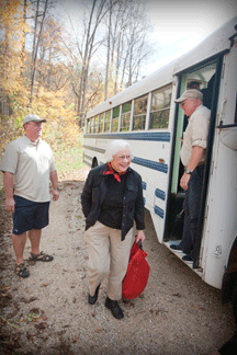
How do we plan a shuttle?
 Free parking is available at all public water trail access points.
If traveling with multiple cars, you should meet at the downstream take-out and park a vehicle that will be waiting for you at the end of your trip, then drive to put in and launch paddling back to the car left at your take out location. If you shuttle using a vehicle at both the put-in and take-out points, make sure you bring your keys for the take-out vehicle. A great paddling trip can be spoiled when you realize that your car keys were left at the put-in.
If traveling in one vehicle, choose a river section where you can launch and paddle upstream, and turn around when you’re ready to paddle back downstream to your vehicle. Or, contact one of our local outfitters who offers a fee based river shuttle service.
What should I bring?
A life jacket is required for each person in the watercraft. Children 16 and under must wear their life jackets any time they are on board the boat.
Recommended equipment includes a river map, food, water, sunscreen, footwear (water sandals, river shoes, or old tennis shoes), a shirt for sun protection, a cap or sun hat, insect repellent, sunglasses, ID, cell phone in water proof dry box, and a trash bag.
You may also want to bring a camera, binoculars, and dry bag, fire starter, fishing gear and license, knife, paddling gloves, rain gear, toilet paper and baggies, waterproof flashlight and extra batteries, and extra lines or tie-downs.
Can I picnic on the river bank?
Plan your stops on public land, such as small low islands that are part of the river way. Please respect private property along navigable rivers shore lines. Private property may be marked by signs, or fences. Please avoid stopping on private property whenever possible and keep noise levels low. Note that picnicking is not allowed at the public access points.
How deep is the river?
The river level of the Upper James River Water Trail varies from a few inches to well over 15 feet in some places. However, the average depth of the James is waist deep or less for an average adult. When the river clarity is clear you will be able to see the river bottom in all but the deepest pools along the way. Since the river depth is constantly changing all paddlers should wear their life jackets while on the water.
Do I need to be able to swim to go on the river trail? Is it safe for very young children?
Even the easiest sections of the Upper James River Water Trail contain rapids that can tip over unsuspecting paddlers. The river is a wild and natural environment and not set up like an engineered water park ride at an amusement park. Upon flipping over, each person must be able to safely make a self recovery to be able to get to the river bank on their own. Accordingly, the river is no place for small children and non swimmers for safety reasons.
Are pets allowed?
Yes. Pet life jackets are recommended.
Is alcohol allowed on River Trips?
Rivers and the river access points are considered public property. Display and consumption of alcohol is illegal. Paddlers boating while intoxicated risk arrest and injury.
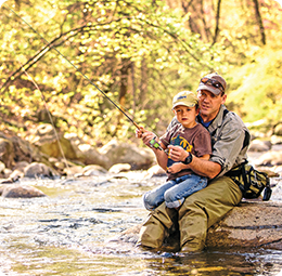
Do I need a fishing license, where do I get them?
Yes, fisherman 16 and older will need to purchase a fresh water fishing license from the Virginia Department of Wildlife Resources. Fishing license can be purchased online by going to the following website.
H&H Outdoors in Buchanan also sells fishing licenses and bait as well.
What type of fish are found in the Upper James?
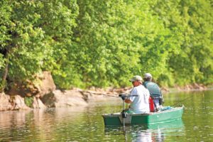 Smallmouth bass are the dominant game species, but spotted and largemouth bass can also be caught. Other species are also plentiful in the James River, including channel catfish, flat head catfish, and various sunfish species (redbreast, bluegill, and rock bass). Muskies are also annually stocked in the Upper James, but are rare and can get quite large.
More information and biologist reports can be found on the Virginia Department of Wildlife Resources website here.
Where can I camp on the River?
The Upper James River Water Trail is served by a variety of camping and lodging options, including:
- In Botetourt County, camping is available at Gala, Horseshoe Bend, and Arcadia through Twin River Outfitters.
- In Rockbridge County, camping is available at Yogi Bear’s Jellystone Camp & Resort and Wilderness Canoe Company.
- On the Maury River, camping is available in Buena Vista at Glen Maury Park.
- Dispersed camping, also known as primitive camping, is permitted throughout the George Washington and Jefferson National Forests, except in specially designated areas.
What are the typical river temperatures?
The water temperatures in the Summer time are in the mid to upper 70’s which is very comfortable. The temperatures are in the mid 50’s normally in April and October and in the 60’s in May. A good safety rule when paddling in the early spring or late fall is never to paddle when the air & water temperatures combined are less than 110 degrees. This is a simple guideline that greatly reduces the risk of hypothermia.